Services
Soil Salinity Management Dashboard
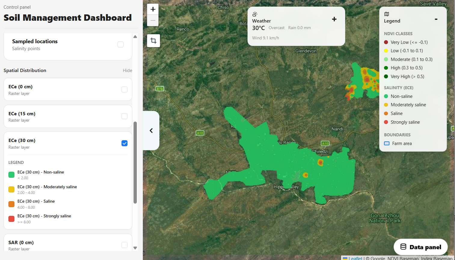
Soil Salinity Dashboard serves as an internal digital platform that combines field-sampled salinity data with satellite-derived vegetation information such as NDVI, together with other environmental layers, to provide a more integrated understanding of soil health patterns. The dashboard allows users to visualize where salinity is occurring, compare conditions across farms and seasons, assess variation by soil depth, and inspect specific sampled locations in detail. This makes the system valuable not only as a mapping tool, but also as an operational support instrument for agronomists, irrigation personnel, farm managers, and other technical stakeholders involved in land and water management.
The dashboard can be accessed through the internal link:
http://soil.zsaes.org.zw:8000/salinity/
For a detailed step-by-step procedure on how to access and use the system, refer to the attached Soil Salinity Dashboard User Guide by clicking the button below: